Carlo Powell · 30 October 2026
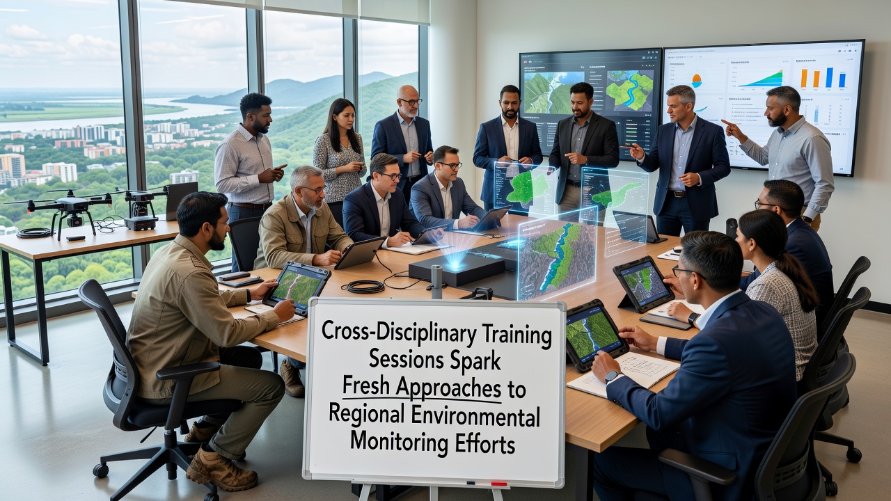
Cross-Disciplinary Training Sessions Spark Fresh Approaches to Regional Environmental Monitoring Efforts
Training programs that merge expertise from biology, data science, engineering, and policy fields have begun reshaping how regional environmental monitoring gets conducted across multiple continents, and organizers report that participants now apply integrated methods to track air quality, water systems, and soil conditions with greater precision than isolated disciplinary approaches once allowed.
Origins of the Training Model
Academic institutions and government agencies started piloting these sessions several years ago after studies showed single-field teams often missed interconnected variables in ecosystem data, yet the programs gained momentum when October 2026 schedules expanded to include hands-on modules that pair field sampling with machine learning applications for real-time analysis.
Participants learn to combine traditional sensor deployment with advanced statistical modeling, and this blend allows them to process large datasets collected from river basins or forest plots while accounting for variables such as seasonal weather shifts and human activity patterns that affect readings.
Core Elements Delivered in Sessions
Each program structures its curriculum around shared projects where biologists collect sample specimens, data scientists build predictive models, and engineers refine hardware calibration, and the collaborative workflow produces monitoring protocols that adapt quickly when new pollution sources emerge in a given region.
Workshops emphasize open data standards so findings from one area transfer readily to another, and trainers demonstrate how satellite imagery integrates with on-site measurements to fill gaps in coverage that ground teams alone cannot address efficiently.

Regional Applications and Outcomes
Teams working in European river catchments applied the methods to detect nutrient runoff patterns earlier than previous campaigns, while North American groups used similar techniques to monitor wildfire impacts on watershed chemistry, and reports from both areas note faster turnaround from data collection to actionable alerts for local authorities.
According to EPA research summaries, cross-trained crews improved detection rates for certain contaminants by incorporating neural network filters that flag anomalies in sensor streams, and parallel efforts documented in EU environmental reports show comparable gains in tracking microplastic distribution across coastal zones.
Technology Integration in Practice
Hardware sessions cover drone-based multispectral imaging alongside portable spectrometers, and software components teach participants to code custom scripts that merge outputs from these tools into unified dashboards, and this setup reduces the time required to generate reports that regulatory bodies can use for compliance checks.
Trainers highlight case examples where a single monitoring station upgraded with cross-disciplinary input delivered continuous readings on both chemical concentrations and biodiversity indicators, whereas earlier setups required separate teams and staggered timelines to achieve the same scope.
Challenges Addressed Through Collaboration
Logistical hurdles such as mismatched data formats across agencies often delayed regional assessments, yet the training explicitly targets these issues by requiring joint exercises that standardize collection methods before fieldwork begins, and participants leave equipped with templates that align with international reporting frameworks.
Funding constraints in some areas have limited full deployment, but the programs include modules on cost-effective sensor networks that leverage open-source components, and this approach lets smaller municipalities participate without large capital outlays.
Future Expansion Plans
Organizers plan additional cohorts through 2027 that will incorporate climate modeling specialists alongside current disciplines, and preliminary schedules indicate focus areas will shift toward urban heat island effects and their influence on local air and water quality metrics.
Conclusion
Evidence from completed sessions shows measurable improvements in monitoring efficiency and data interoperability across regions, and continued expansion of these programs promises to embed cross-disciplinary habits into standard practice for environmental agencies worldwide.